Laser-ready layered maps
Turn any place on Earth into cut-ready art.
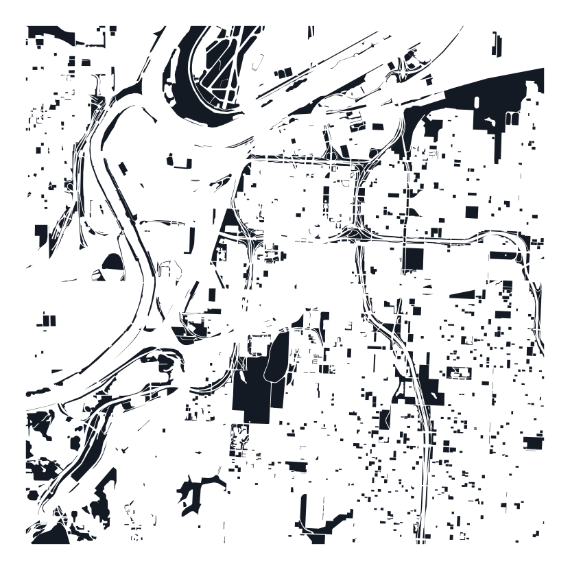
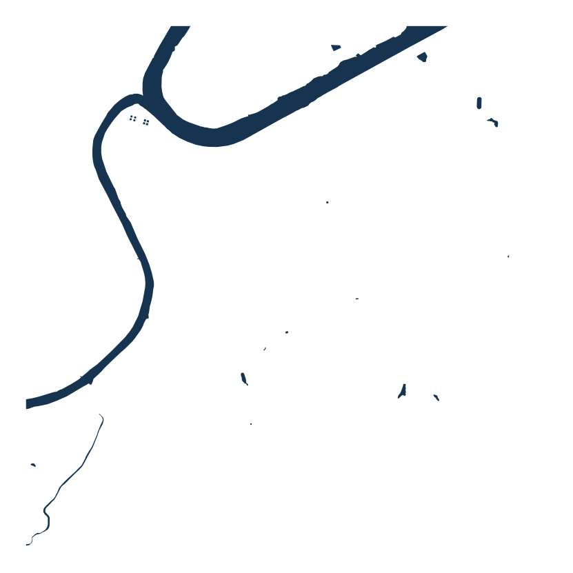
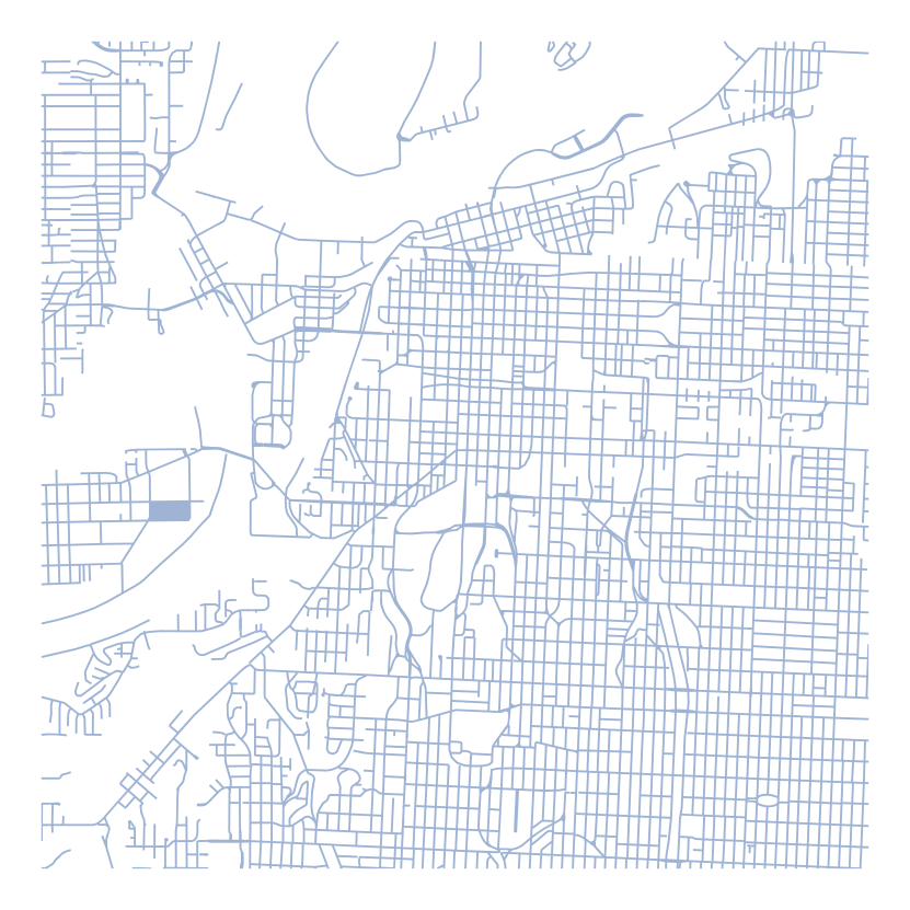
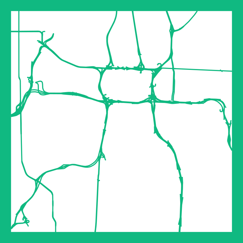
MapForge builds clean, multi-layer vector maps made for the laser. Every map on this page is a real MapForge export — hover one and watch it pop apart into the layers you'd cut.
Sign in with Google or email — your maps follow your account.
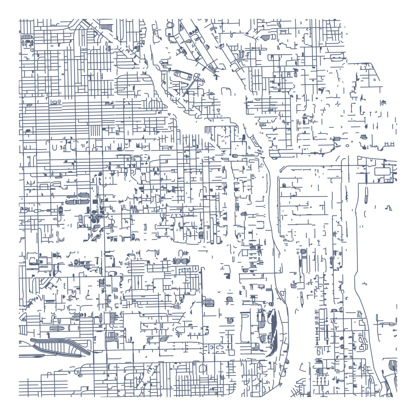
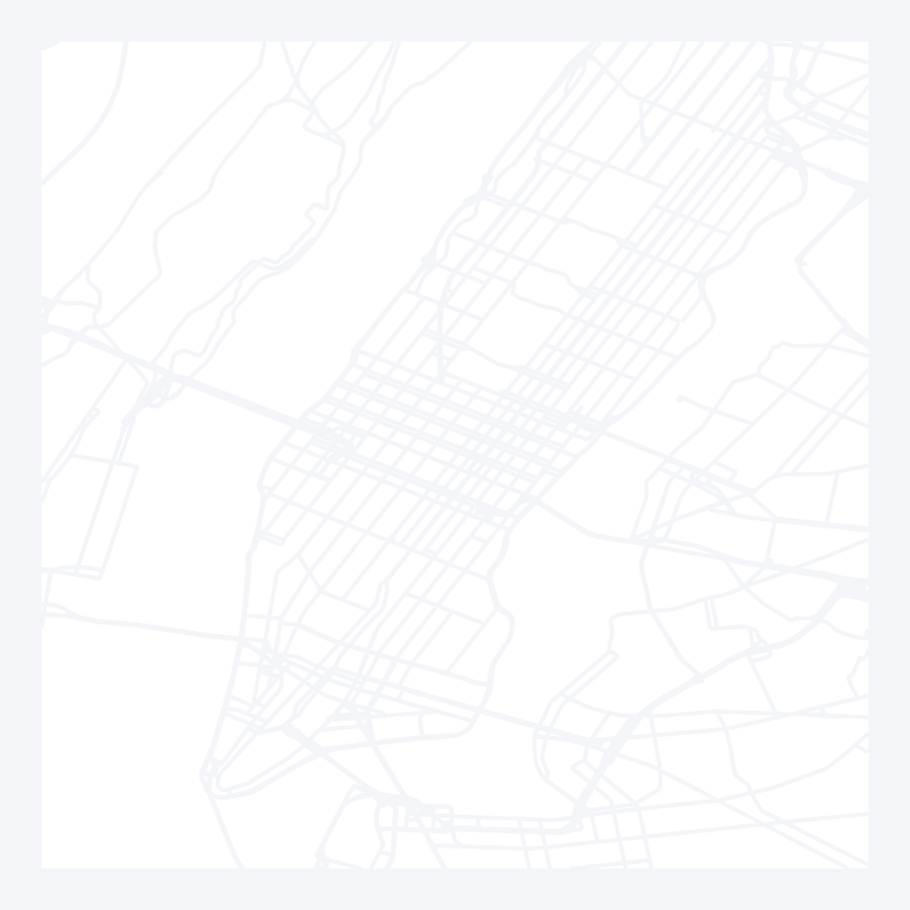
City detail
Every street, weighted by size. The dense downtown look that turns a hometown into a centerpiece.
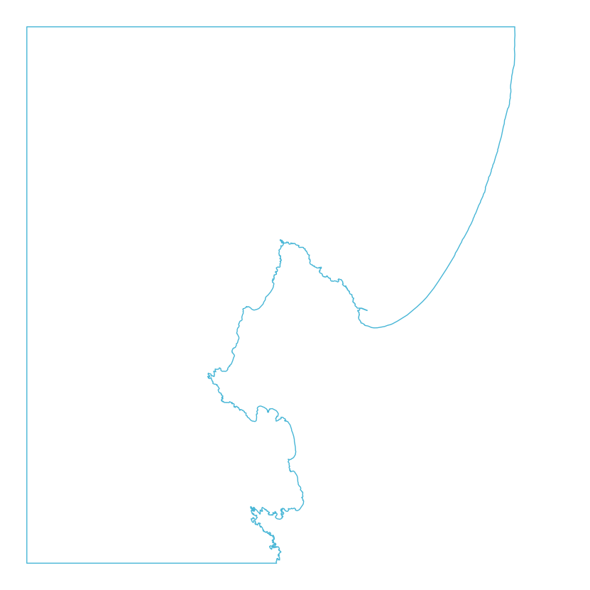
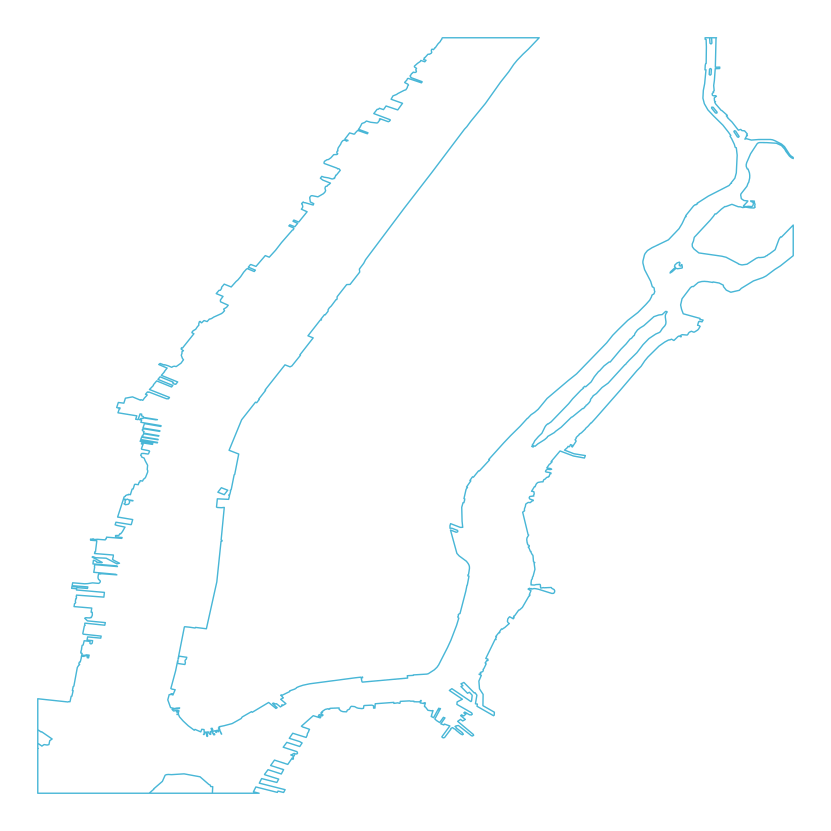
Coastal
Shorelines and the few roads that matter. Built for harbor towns, lakes, and islands.

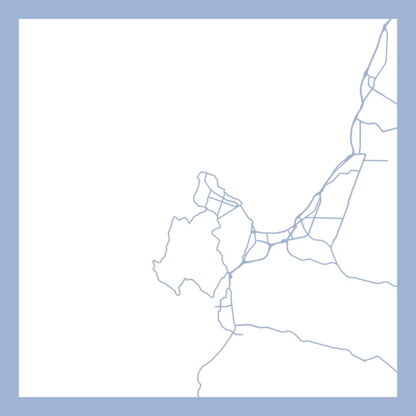
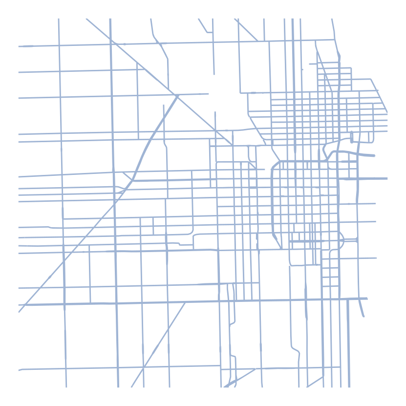
Road hierarchy
Local streets, major roads, and highways — each tier on its own layer, sized and cut independently.
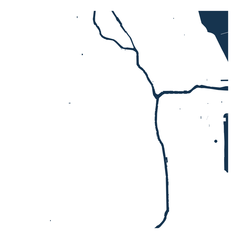
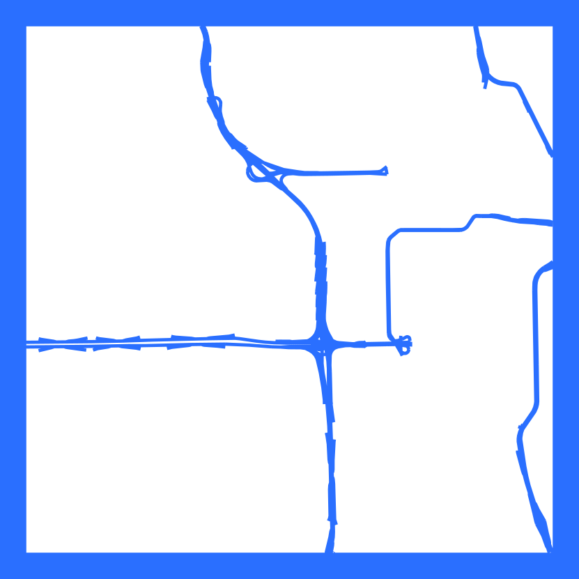
Minimalist
Just the coastline and the arteries. Two tones, maximum impact — the clean modern look that sells on a wall.
Three steps to a finished cut
Find your place
Search any town, address, or coordinates. Frame exactly the area you want to cut.
Style it your way
Start from a ready-made style or build your own layers — roads, water, buildings, coastline.
Export for your laser
Download an SVG or DXF with each layer named, ready to drop straight into LightBurn.
Your town. Your style. Cut-ready in minutes.
Pick a place, pick a style, pop it open, export. Your first 2 export credits are free.